
Loading page
Please wait a moment
Loading page
Please wait a moment
Accurate Subsurface Imaging to Protect Your Project, Budget, and Team.
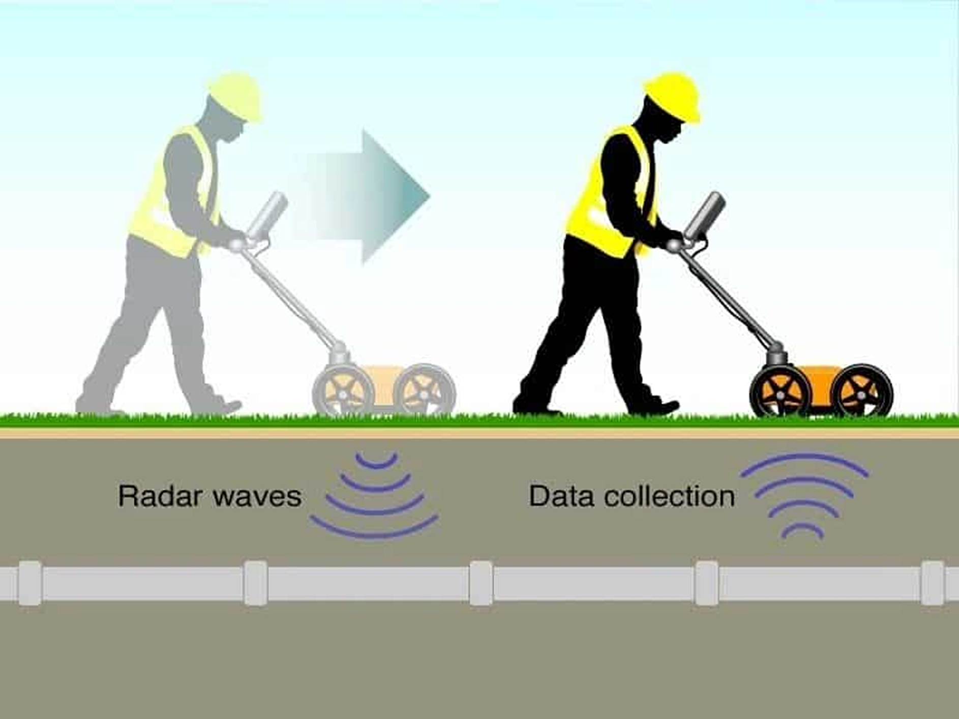
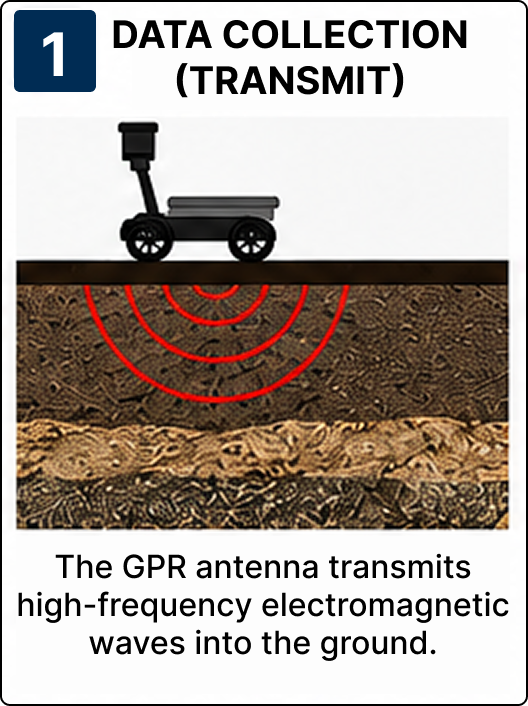
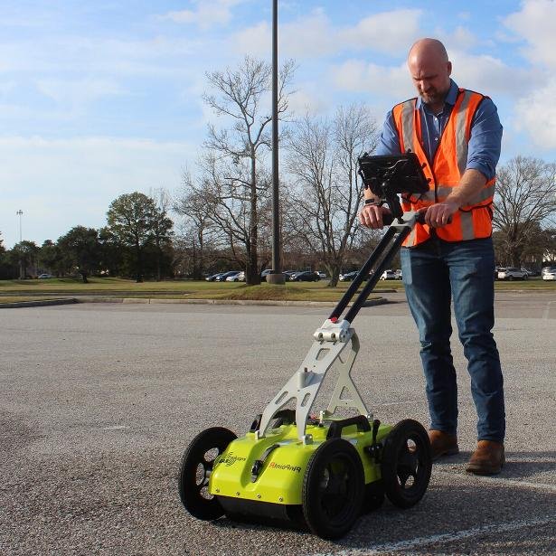
Ground Penetrating Radar (GPR) is a non-destructive testing (NDT) technology that uses high-frequency electromagnetic waves to detect and map objects, utilities, and structural elements hidden beneath the ground or inside concrete without causing any damage.
It provides fast, accurate, and reliable subsurface information, making it ideal for construction, infrastructure, property inspections, and engineering projects.
Locate features up to 30+ feet deep.
GPR provides a safe window into slabs, soils, and concrete in real-time, eliminating the risk of cutting live cables or active utility pipes.
Helpline
76000 78862
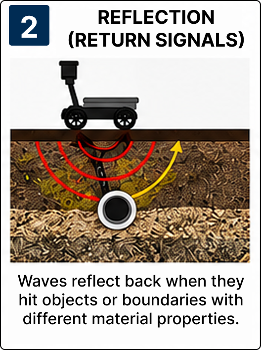
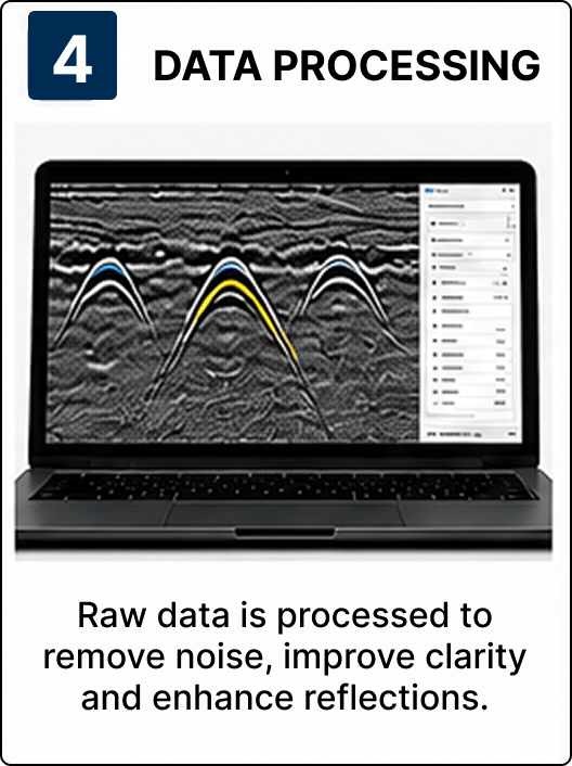
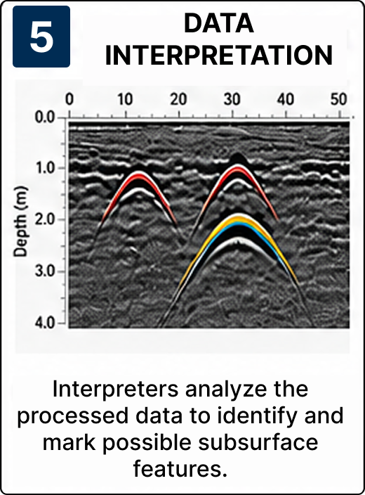
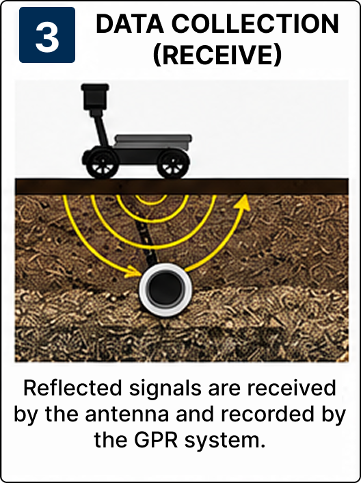
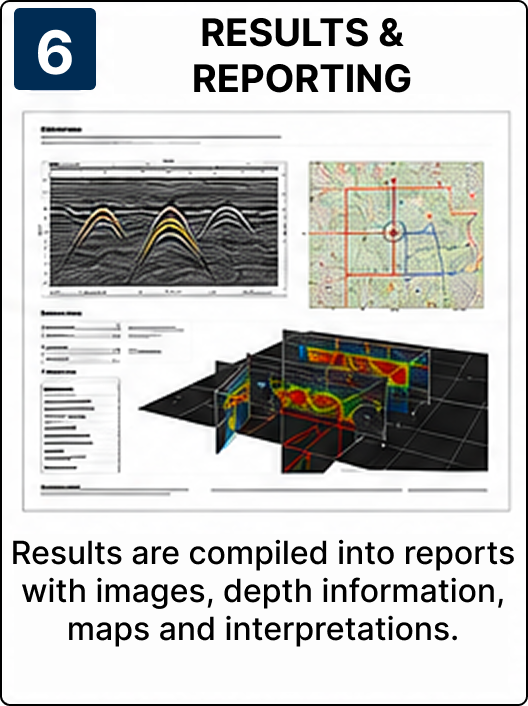
The complete lifecycle of GPR data acquisition, processing, interpretation, and reporting.
On-site Utility Mapping
Real-time mapping of structural conduits and pipes on structural sites.
Prevent accidental damage during drilling or excavation.
Locate hidden pipes, cables, and reinforcement before construction.
Improve project safety and planning.
Reduce repair costs and delays.
Support informed engineering and maintenance decisions.
Need a scanner team on-site?
Call Helpline: 76000 78862